
File:Zimbabwe location map.svg

Size of this PNG preview of this SVG file: 661 × 600 pixels. Zvimwe misimbiro: 265 × 240 pixels | 529 × 480 pixels | 846 × 768 pixels | 1,128 × 1,024 pixels | 2,257 × 2,048 pixels | 832 × 755 pixels
Fayera repachivambo (SVG file, nominally 832 × 755 pixels, file size: 193 KB)
Muchipfupiso
| Mutsananguro |
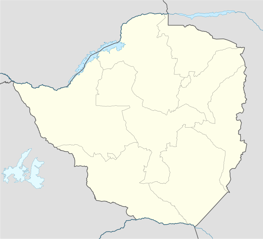
Deutsch: Positionskarte von Simbabwe
Quadratische Plattkarte, N-S-Streckung 105 %. Geographische Begrenzung der Karte:
English: Location map of Zimbabwe
Equirectangular projection, N/S stretching 105 %. Geographic limits of the map:
|
| Musi | |
| Mabviro |
own work, using
|
| Munyori | NordNordWest |
| Other versions |
|


|
This map has been made or improved in the German Kartenwerkstatt (Map Lab). You can propose maps to improve as well.
|
Kurezinesa
I, the copyright holder of this work, hereby publish it under the following licenses:

|
Permission is granted to copy, distribute and/or modify this document under the terms of the GNU Free Documentation License, Version 1.2 or any later version published by the Free Software Foundation; with no Invariant Sections, no Front-Cover Texts, and no Back-Cover Texts. A copy of the license is included in the section entitled GNU Free Documentation License. |
This file is licensed under the Creative Commons Attribution-Share Alike 3.0 Unported license.
- Wakasungunuka:
- kugova – kucheza, kugovera ne kutumira basa
- kurhimikisa – kugadzirisa basa
- Pasi pemamiriro anotevera:
- Uzikano – Unofanhira kupa kiredhiti yakakodzeka, ipa kochekero yekune rezinesi, uye ratidza kana zvichinjirudzo zvaitwa. Ita sokudaro zviichienderana nenzira inonzwisisika, asi kwete nenzira ingaratidze zvekudii kuti murezinesi anokutsigira kana kushandiso kwako.
- gova saizvo – If you remix, transform, or build upon the material, you must distribute your contributions under the same or compatible license as the original.
Unokwanisa kusarura rezinesi inoenderana nezvaunoda.
Nhoroondo ye fayera
Dzvanya pa musi/nguva kuti uringe fayera sekuoneka kwaraita panguva iyoyo.
| Musi/Nguva | Mfananoudoko | Mitandu | Mushandisi | Komenda | |
|---|---|---|---|---|---|
| parizvino | 17:49, 13 Nyamavhuvhu 2008 | | 832 × 755 (193 KB) | NordNordWest | {{Information |Description= {{de|Positionskarte von Simbabwe}} Quadratische Plattkarte, N-S-Streckung 105 %. Geographische Begrenzung der Karte: * N: 15.2° S * S: 22.8° S * W: 24.8° O * O: 33.6° O {{en|Location map of [[:en:Zimbabwe|Z |
Kushandiswa kwe fayera
The following 3 pages use this file:
Kushandiswa kwe fayera pasirose
Mawiki anotevera ayo anoshandisa fayera iri:
- Hushandiso pa af.wikipedia.org
- Hushandiso pa am.wikipedia.org
- Hushandiso pa ar.wikipedia.org
- Hushandiso pa az.wikipedia.org
- Hushandiso pa ba.wikipedia.org
- Hushandiso pa be-tarask.wikipedia.org
- Hushandiso pa be.wikipedia.org
- Hushandiso pa bg.wikipedia.org
- Hushandiso pa bn.wikipedia.org
- Hushandiso pa bs.wikipedia.org
- Hushandiso pa ceb.wikipedia.org
Ringa kushandiswa kumwe kwe vupasirose kwe fayera rino.