
File:Un-central-african-republic.png
Fayera repachivambo (3,037 × 2,256 pixels, file size: 1.63 MB, MIME type: image/png)
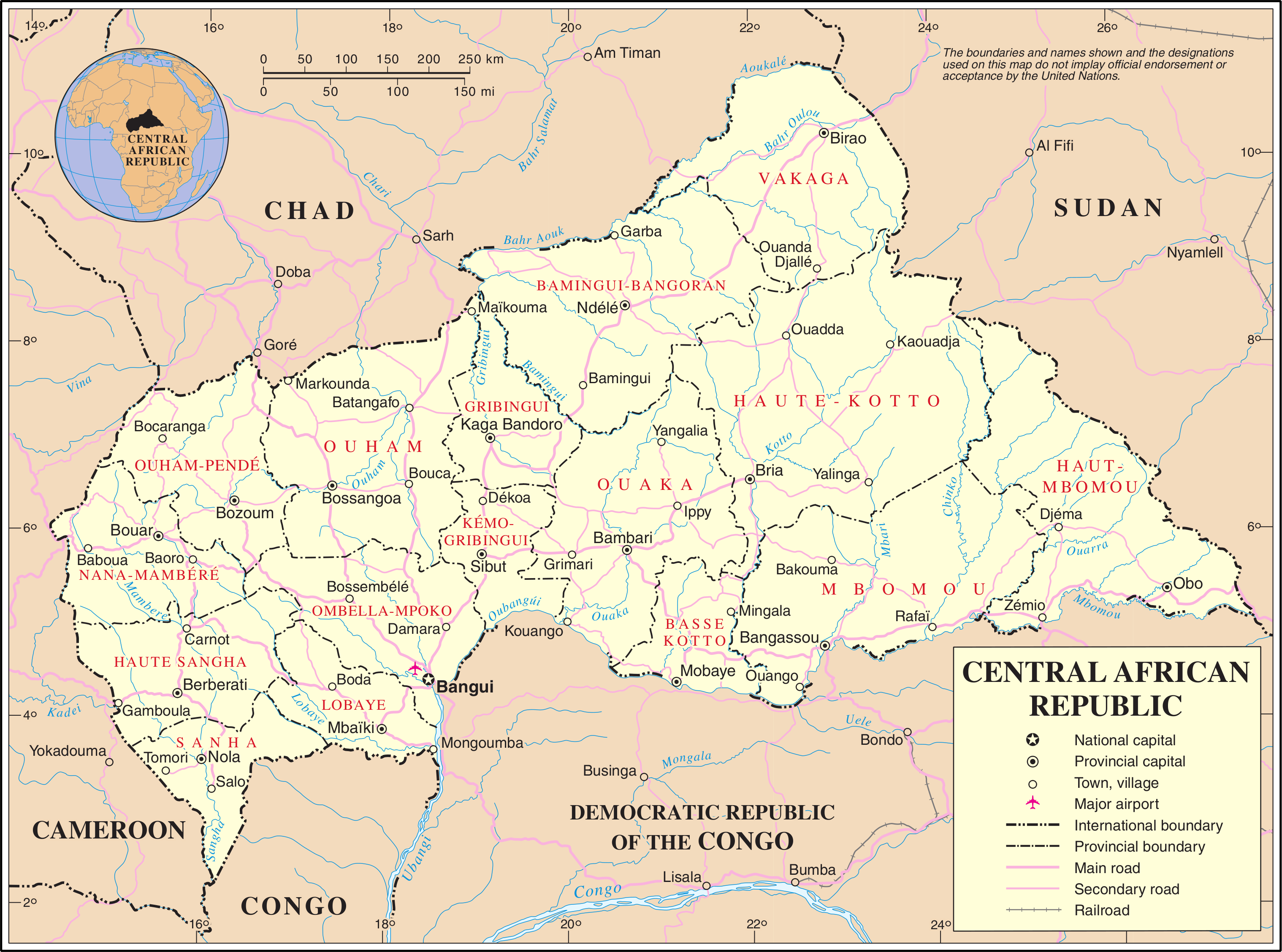
| This image is a map derived from a United Nations map.
Unless stated otherwise, UN maps are to be considered in the public domain. This applies worldwide. UN maps are, in principle, open source material and you can use them in your work or for making your own map. UN requests however that you delete the UN name, logo and reference number upon any modification to the map. Content of your map will be your responsibility. You can state in your publication, if you wish, something like: based on UN map … (map name, map number, revision number and date). See: Geospatial Information Section. And: Geospatial, location data for a better world. |
 |
Nhoroondo ye fayera
Dzvanya pa musi/nguva kuti uringe fayera sekuoneka kwaraita panguva iyoyo.
| Musi/Nguva | Mfananoudoko | Mitandu | Mushandisi | Komenda | |
|---|---|---|---|---|---|
| parizvino | 00:49, 24 Gumiguru 2007 | | 3,037 × 2,256 (1.63 MB) | Jeroen | {{UN map}} Category:Maps of the Central African Republic |
Kushandiswa kwe fayera
The following page uses this file:
Kushandiswa kwe fayera pasirose
Mawiki anotevera ayo anoshandisa fayera iri:
- Hushandiso pa az.wikipedia.org
- Hushandiso pa ca.wikipedia.org
- Hushandiso pa ckb.wikipedia.org
- Hushandiso pa de.wikipedia.org
- Hushandiso pa el.wikipedia.org
- Hushandiso pa en.wikipedia.org
- Hushandiso pa es.wikipedia.org
- Hushandiso pa fa.wikipedia.org
- Hushandiso pa fr.wikipedia.org
- Hushandiso pa hu.wikipedia.org
- Hushandiso pa id.wikipedia.org
- Hushandiso pa mzn.wikipedia.org
- Hushandiso pa nl.wikipedia.org
- Hushandiso pa pl.wiktionary.org
- Central African Republic
- Republika Środkowoafrykańska
- Централноафриканска република
- Středoafrická republika
- Centralafrikanska republiken
- 중앙아프리카 공화국
- Κεντροαφρικανική Δημοκρατία
- Centraal-Afrikaanse Republiek
- Sentraal-Afrikaanse Republiek
- Цэнтральна-Афрыканская Рэспубліка
- Repubblica Centrafricana
- République centrafricaine
- جمهورية أفريقيا الوسطى
- República Centro-Africana
- Republica Centroafrican
- Централноафричка Република
- Центрально-Африканская Республика
- Srednjoafrička Republika
- Közép-afrikai Köztársaság
- Kesk-Afriga Vabariik
- মধ্য আফ্রিকান প্রজাতন্ত্র
- Republik Afrika Tengah
- Naakaii Łizhinii Bikéyah Beʼałnííʼ
Ringa kushandiswa kumwe kwe vupasirose kwe fayera rino.