
File:East Asia topographic map.png

Kukura kwe chipandwa ichi: 800 × 582 pixels Zvimwe misimbiro: 320 × 233 pixels | 640 × 466 pixels | 1,024 × 746 pixels | 1,280 × 932 pixels | 2,560 × 1,864 pixels | 2,876 × 2,094 pixels
Fayera repachivambo (2,876 × 2,094 pixels, file size: 8.82 MB, MIME type: image/png)
| Mutsananguro |
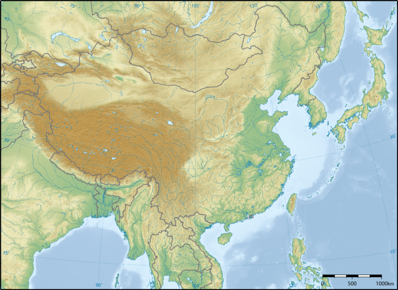
English: Topographic map of East Asia.
中文(简体):东亚地形图。
中文(繁體):東亞地形圖。
日本語: 東アジアの地形図。
한국어: 동아시아의 지형도.
Tiếng Việt: Bản đồ địa hình khu vực Đông Á. |
||||||||||
| Musi | |||||||||||
| Mabviro | Basa rangu | ||||||||||
| Munyori | Ksiom | ||||||||||
| Mvumo (Kushandisazve fayera) |
|
||||||||||
| Other versions | Derivative works of this file: China-Historic macro areas.svg |

Nhoroondo ye fayera
Dzvanya pa musi/nguva kuti uringe fayera sekuoneka kwaraita panguva iyoyo.
| Musi/Nguva | Mfananoudoko | Mitandu | Mushandisi | Komenda | |
|---|---|---|---|---|---|
| parizvino | 05:11, 17 Nyamavhuvhu 2008 | | 2,876 × 2,094 (8.82 MB) | Ksiom | {{Information |Description={{en|1=Topographic map of East Asia.}} {{ko|1=동아시아의 지형도.}} |Source=Own work by uploader |Author=Ksiom |Date=2008-08-17 |Permission={{GFDL-GMT}} |other_versions= }} <!--{{ImageUpload|full}}--> [[Ca |
Kushandiswa kwe fayera
The following page uses this file:
Kushandiswa kwe fayera pasirose
Mawiki anotevera ayo anoshandisa fayera iri:
- Hushandiso pa af.wikipedia.org
- Hushandiso pa ast.wikipedia.org
- Hushandiso pa de.wikipedia.org
- Hushandiso pa el.wikipedia.org
- Hushandiso pa en.wikipedia.org
- Hushandiso pa es.wikipedia.org
- Hushandiso pa fa.wikipedia.org
- Hushandiso pa fr.wikipedia.org
- Hushandiso pa hsb.wikipedia.org
- Hushandiso pa incubator.wikimedia.org
- Hushandiso pa ja.wikipedia.org
- Hushandiso pa ko.wikipedia.org
- Hushandiso pa ln.wikipedia.org
- Hushandiso pa vi.wikipedia.org
- Hushandiso pa wuu.wikipedia.org
- Hushandiso pa zh-yue.wikipedia.org
- Hushandiso pa zh.wikipedia.org