
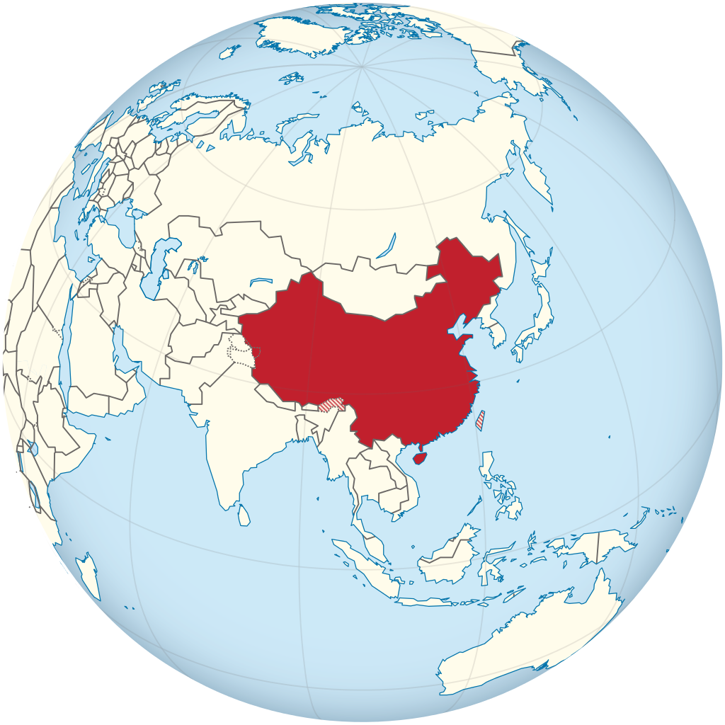
File:China on the globe (claimed hatched) (Asia centered).svg

Size of this PNG preview of this SVG file: 600 × 600 pixels. Zvimwe misimbiro: 240 × 240 pixels | 480 × 480 pixels | 768 × 768 pixels | 1,024 × 1,024 pixels | 2,048 × 2,048 pixels | 793 × 793 pixels
Fayera repachivambo (SVG file, nominally 793 × 793 pixels, file size: 319 KB)
Muchipfupiso
.svg)
.svg)
.svg)
.svg)
.svg)
.svg)
.svg)

-en.svg)

.svg)
.svg)
.svg)

_(US48).svg)
_(small_islands_magnified)_(-mini_map_-rivers).svg)
.svg)
_(extra_close)_(US48).svg)
.svg)
_(zoom).svg)

.svg)


_(UNMIK).svg)
.svg)
_(disputed_hatched).svg)
_(claimed_and_disputed_hatched).svg)
.svg)
.svg)
_(%2Ball_claims_hatched).svg)

.svg)
_(shade).svg)
_(shade)_(special_marker).svg)
_(-mini_map).svg)
_(-mini_map).svg)
_(-mini_map).svg)


.svg)

.svg)
_(Asia_centered).svg)
Kurezinesa
I, the copyright holder of this work, hereby publish it under the following licenses:
This file is licensed under the Creative Commons Attribution-Share Alike 3.0 Unported license.
- Wakasungunuka:
- kugova – kucheza, kugovera ne kutumira basa
- kurhimikisa – kugadzirisa basa
- Pasi pemamiriro anotevera:
- Uzikano – Unofanhira kupa kiredhiti yakakodzeka, ipa kochekero yekune rezinesi, uye ratidza kana zvichinjirudzo zvaitwa. Ita sokudaro zviichienderana nenzira inonzwisisika, asi kwete nenzira ingaratidze zvekudii kuti murezinesi anokutsigira kana kushandiso kwako.
- gova saizvo – If you remix, transform, or build upon the material, you must distribute your contributions under the same or compatible license as the original.

|
Permission is granted to copy, distribute and/or modify this document under the terms of the GNU Free Documentation License, Version 1.2 or any later version published by the Free Software Foundation; with no Invariant Sections, no Front-Cover Texts, and no Back-Cover Texts. A copy of the license is included in the section entitled GNU Free Documentation License. |
Unokwanisa kusarura rezinesi inoenderana nezvaunoda.

|
I'd greatly appreciate, that you attribute this media file to Wikimedia Commons, if used outside Wikipedia or Commons. For use in publications such as books, newspapers, blogs, websites, please insert here the following line:
|
_(Asia_centered).svg)
Nhoroondo ye fayera
Dzvanya pa musi/nguva kuti uringe fayera sekuoneka kwaraita panguva iyoyo.
| Musi/Nguva | Mfananoudoko | Mitandu | Mushandisi | Komenda | |
|---|---|---|---|---|---|
| parizvino | 20:22, 3 Kurume 2014 | | 793 × 793 (319 KB) | TUBS | fixed hatch marks of claimed territories (Taiwan and Indian/Chinese Border Region) |
| 20:22, 22 Kurume 2012 |  | 793 × 793 (319 KB) | TUBS | ||
| 13:11, 6 Chivabvu 2011 |  | 793 × 793 (735 KB) | TUBS | {{Information |Description={{de|Lage von XY (siehe Dateiname) auf der Erde.}} {{en|Location of XY (see filename) on the globe.}} |Source={{own}}{{Adobe Illustrator}}{{Commonist}}{{AttribSVG|Asia on the globe (red).svg|TUBS}} |D |
Kushandiswa kwe fayera
There are no pages that use this file.
Kushandiswa kwe fayera pasirose
Mawiki anotevera ayo anoshandisa fayera iri:
- Hushandiso pa ady.wikipedia.org
- Hushandiso pa als.wikipedia.org
- Hushandiso pa he.wikipedia.org
- Hushandiso pa hsb.wikipedia.org
- Hushandiso pa lfn.wikipedia.org
- Hushandiso pa os.wikipedia.org
- Hushandiso pa pl.wikipedia.org
- Hushandiso pa pl.wiktionary.org
_(Asia_centered).svg)